Rain Forest Aerial Tram - Text and Photos by Jack Yeazel
Return to Home Page

New Cen Rut GPS track location map.
"DEEP- CANyon" is where GPS signals
Couldn't be received on a fairly treacherous
road across the Continental Divide.
New Cen Rut GPS track location map.
"DEEP- CANyon" is where GPS signals
Couldn't be received on a fairly treacherous
road across the Continental Divide.
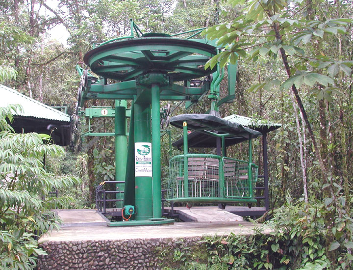
General:
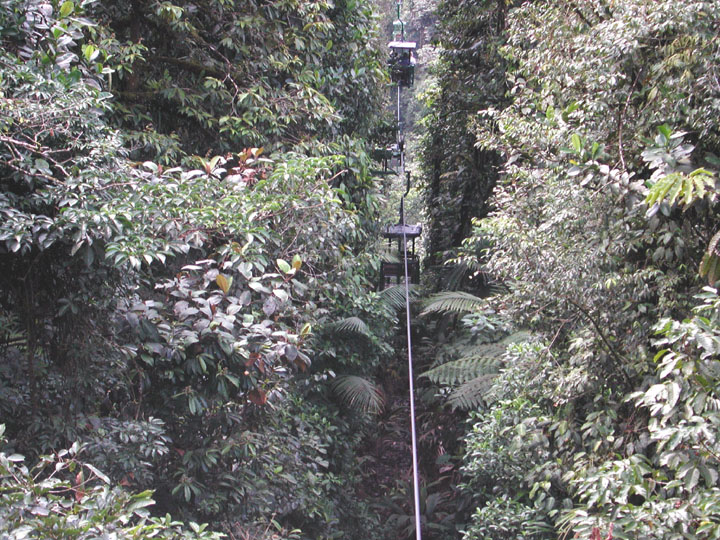
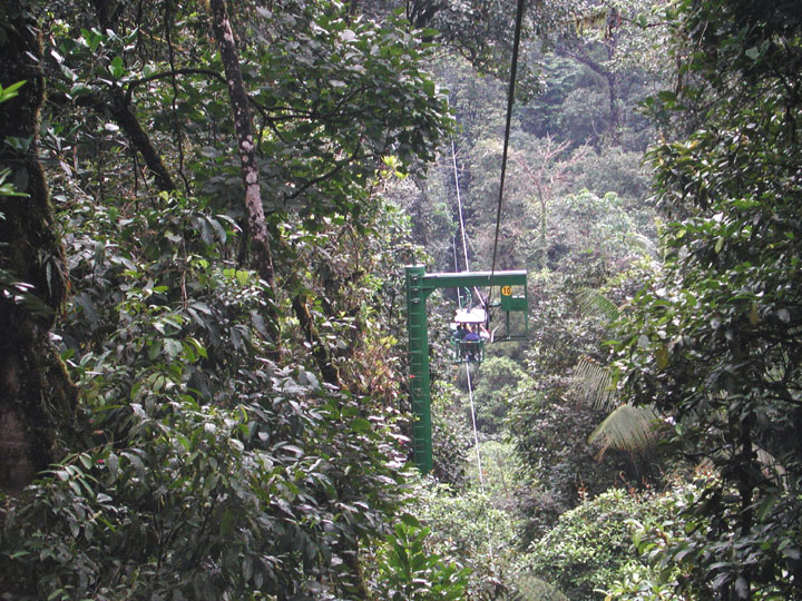
The tram cable rollers are spaced at two levels on the towers which
were installed from helicopters so as not to disturb the plants around
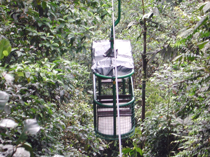
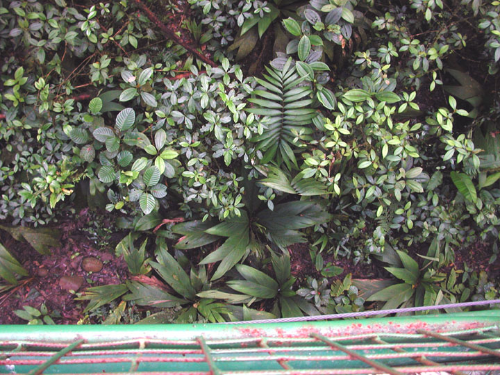
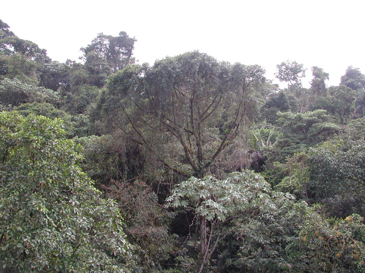
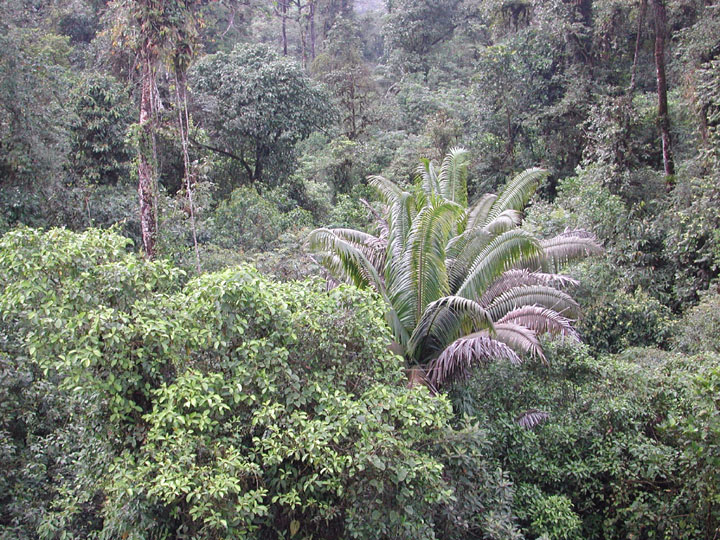
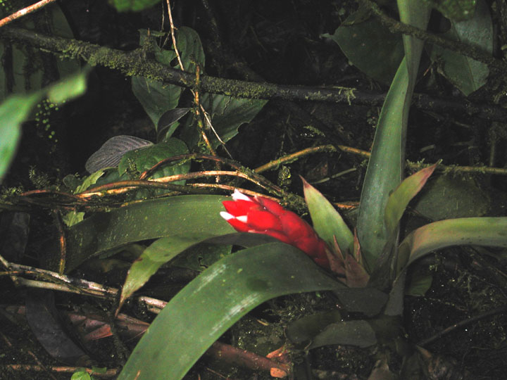
them. On the ride out, the tram travels near the forest floor for
a good view of the plants and (sometimes) animals. The light on the
forest floor is so dim, it's hard to take photographs. The trip back
is at a much higher level where we mostly traveled along the forest canopy.
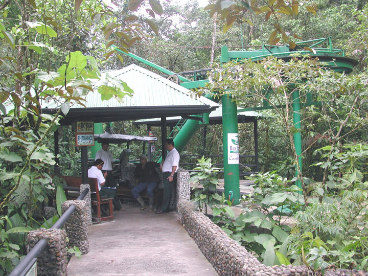
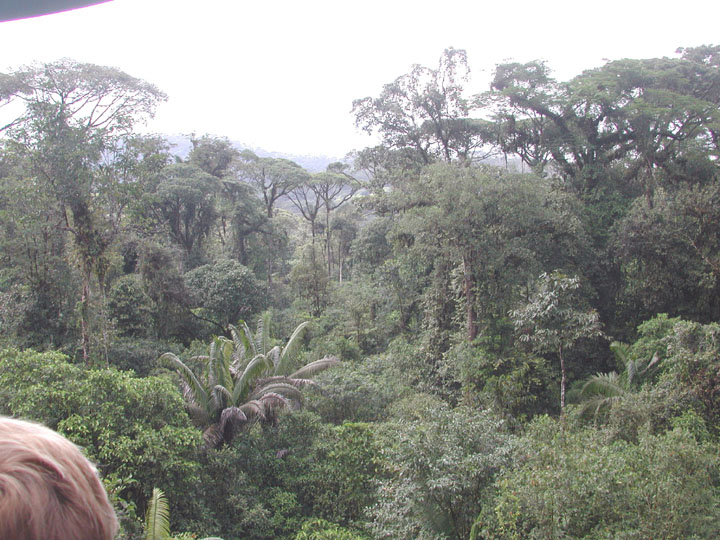
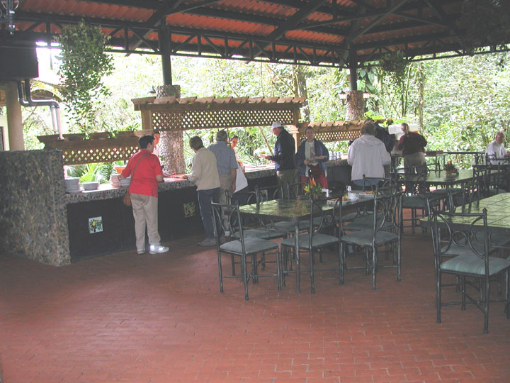
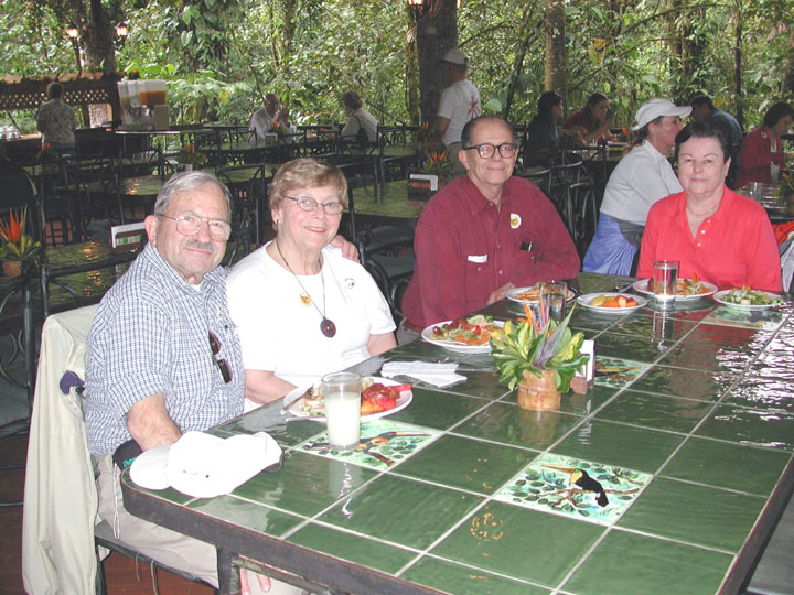
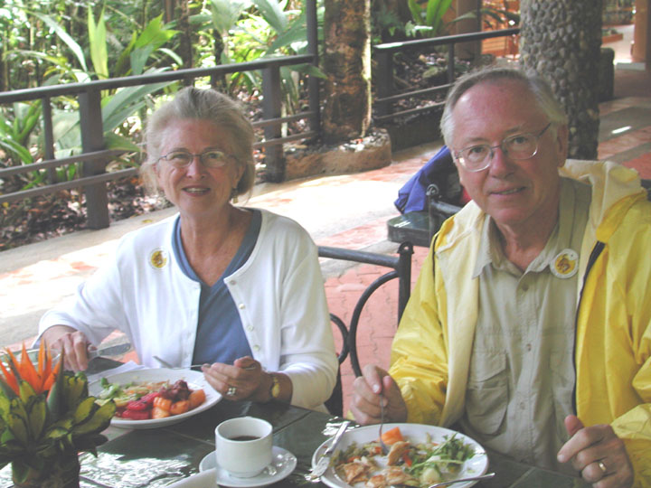
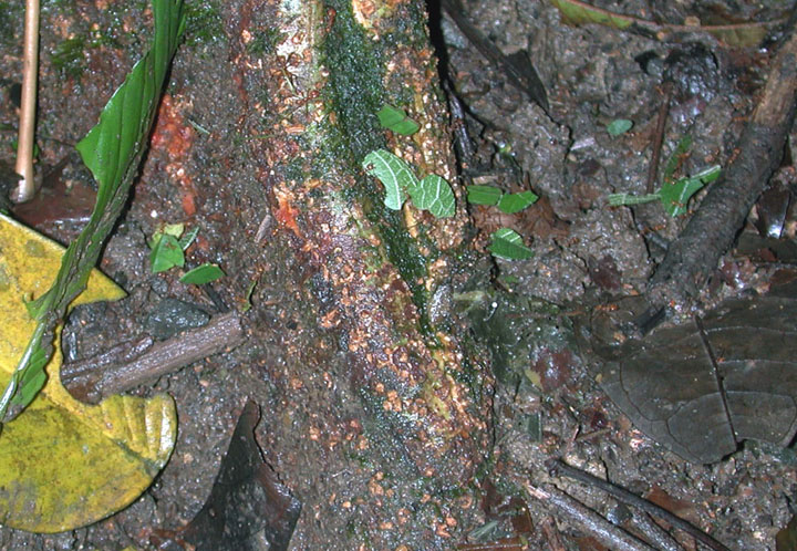
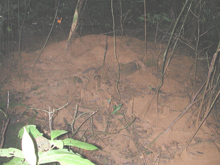
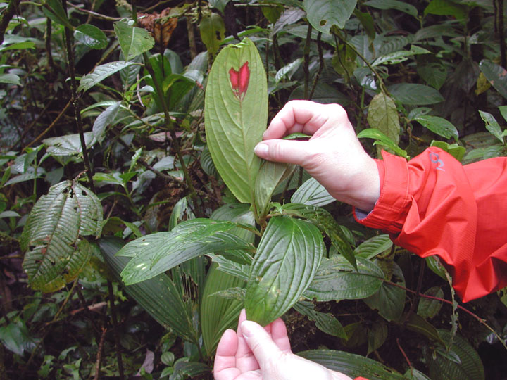
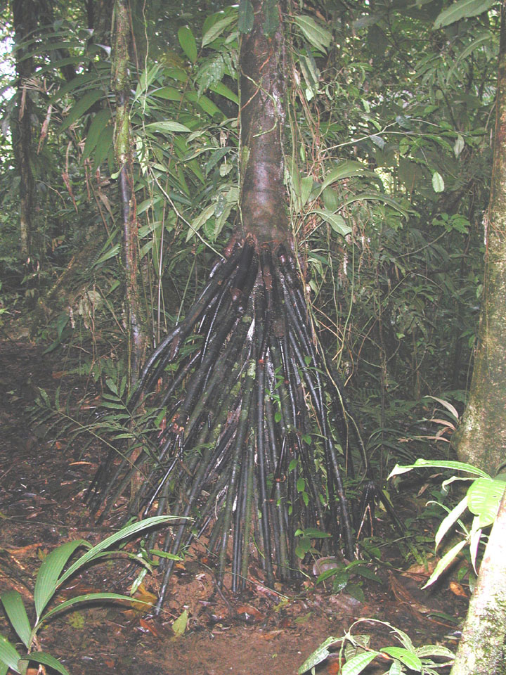
At the end of the tram ride, we had a nice lunch and then took a hike through
part of the rain forest for some interesting sights.
Click on the following
thumbnails for larger views
 .....
..... .....
.....
 ....
.... .....
.....
 .....
..... .....
.....
 .....
..... .....
.....
 .....
..... .....
.....
 .....
..... .....
.....