Check (HERE) for the new Washington Topo Maps
Return to GPS General Information Home Page
Screen Shots and Photos by jack yeazel (Click on photos)
Coverage of the 320 15' Quadrangle
Maps in the Set
GPSmap 76S
 ..
.. ..
..
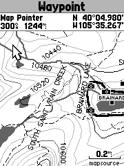
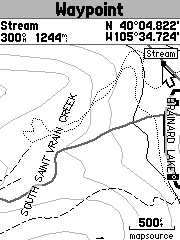
Above the Timber 24K Maps
°
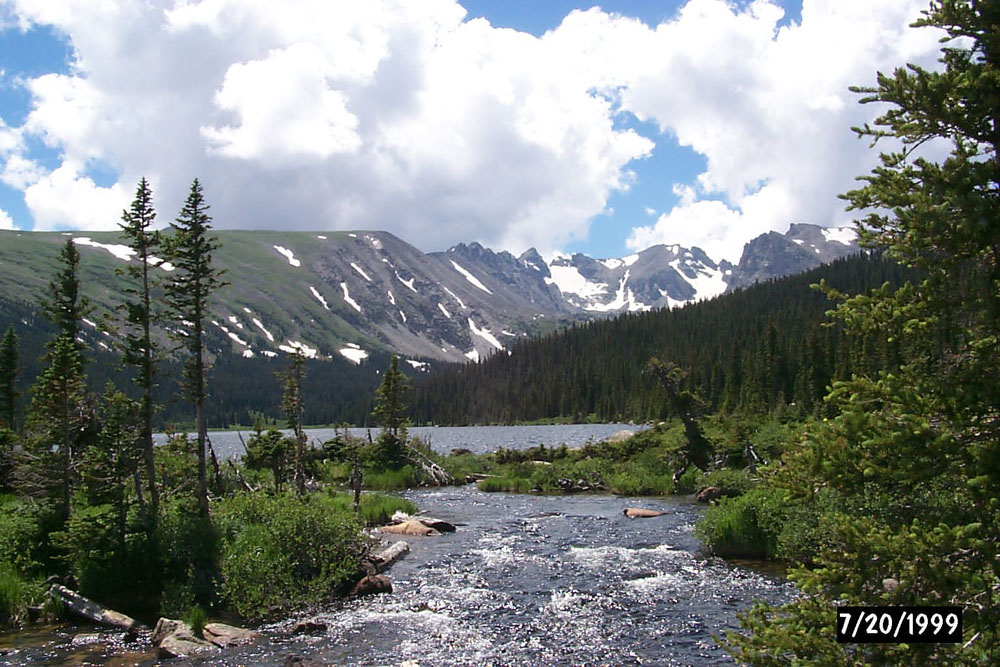
Lake Brainard in the Roosevelt National Forest
The dotted line is a track made from a hike.
° (About
10 miles north of Nederland, CO).
GPSmap 76C
 .....
..... ...
...
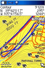
Above the Timber 24K Map °
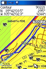
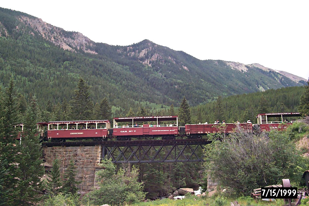
Garmin USA Topo Map ° Riding the Loop Railroad in Georgetown, CO.
The track is in blue.
zumo 550
 ...
... ...
...
Above the Timber 24K Map
°
Garmin USA Topo Map
°
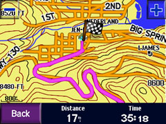
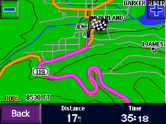
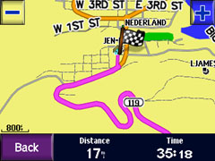
Garmin City Navigator
Maps of Nederland, CO (About 12 miles
west of Boulder)
 ..
..
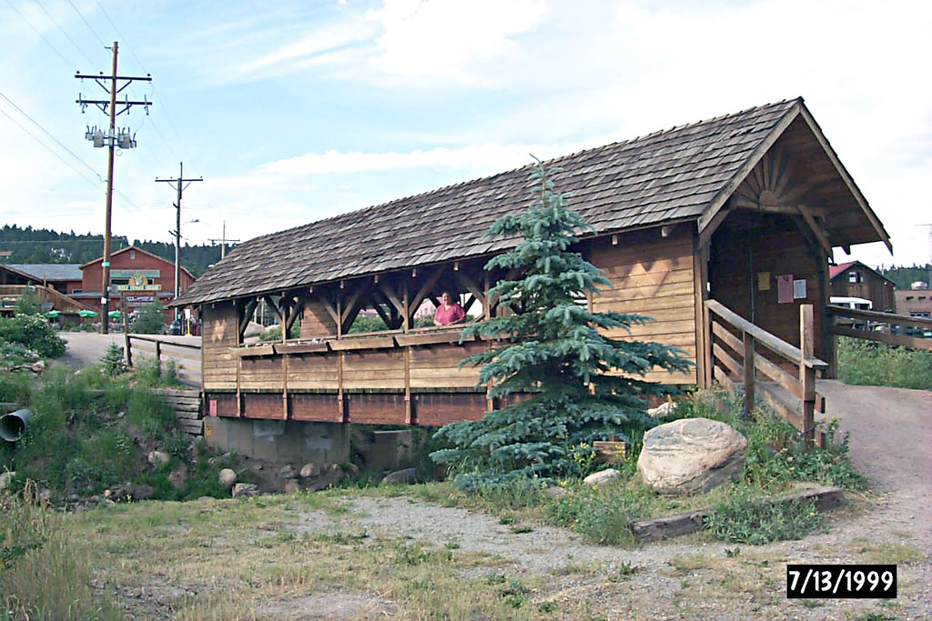
Nederland Covered Bridge over the Big
Spring Creek Shown on two of the Above Maps
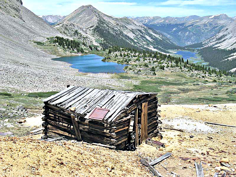
Tracks Around Vicki's Cabin