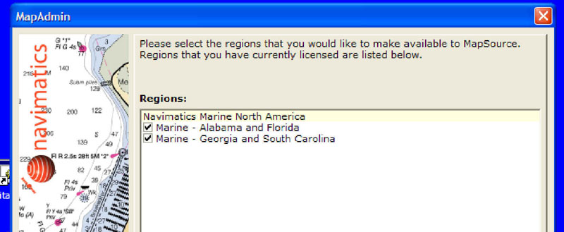
Navimatics Map Administrator
Navimatics are quality marine charts uploadable to Garmin GPS devices and Garmin MapSource. They cover most of the US coastline and will be covering the rest of it and the US inland rivers soon. The maps are derived from the National Oceanic and Atmospheric Administration Charts and are updated regularly. They cost less and cover greater regions than Garmin BlueCharts, which were reviewed (HERE) in 2002.
Unlike the Garmin BlueCharts, one can upload the navimatics charts to any number of Garmin units. We had no trouble installing the charts in MapSource or uploading them to a Vista C, GPSmap 76C, and a nuvi 760. Below are some examples of actually using the charts for navigation. Our Americas BlueCharts (v4.00) are fairly old.
The Navimatics regions are much larger than the BlueChart ones. For example, one has to buy 3-4 regions (at $150 for the 1st region and $116.65 for every additional one) to get full Florida coverage. With the Navimatics charts you get full Alabama and Florida coverage for only $95.
Navimatics Map Administrator
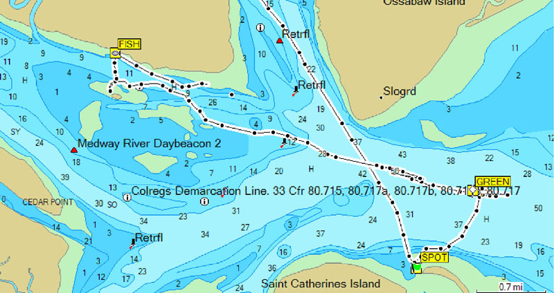
(Click on these two MapSource
thumbnails below)
navimatics
BlueCharts
 ..
..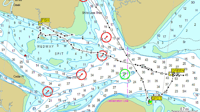
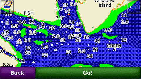
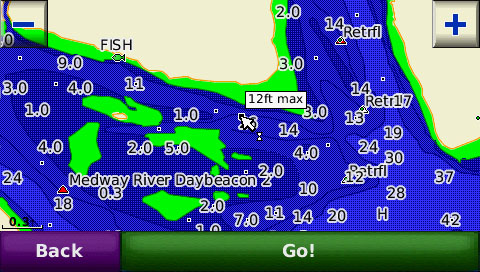
Saint Catherine's Island below Savannah, Georgia
 ..
..
Screen Shots from a nuvi 760
 .....
.....
Screen Shots from a Vista C
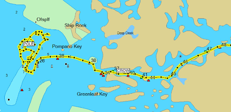
Notice that recorded tracks can be uploaded to the Vista C and GPSmap
76C, but not the nuvi
(Click on these two MapSource
thumbnails below)
navimatics
BlueCharts
 ..
..
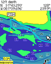
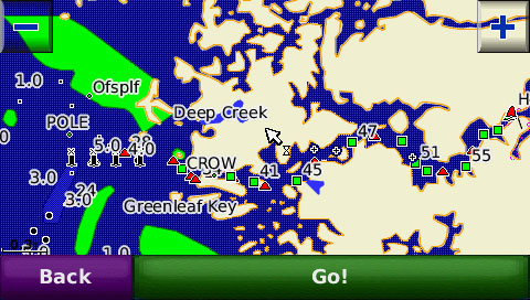
Mouth of the Homosassa River, Florida
 ..
..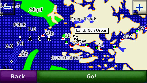
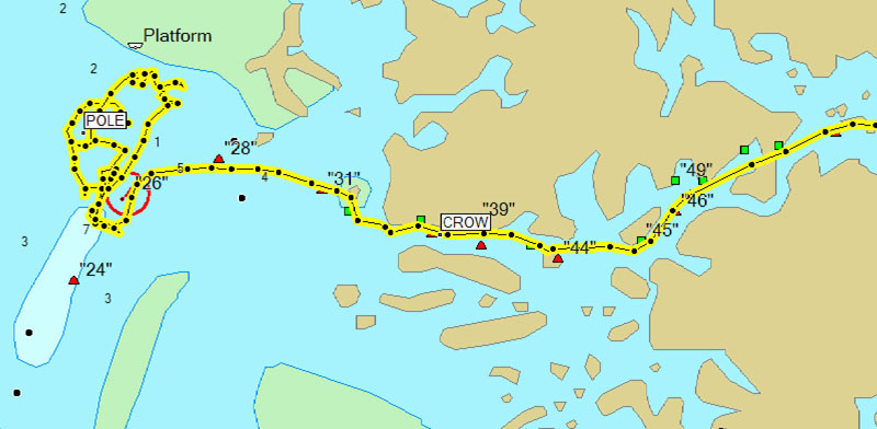
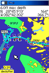
Screen Shots from a nuvi 760
 .....
..... ...
...
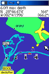
Screen Shots from a GPS 76C
(Click on these two thumbnails
below)
 ...
...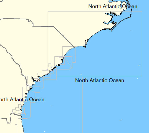
Index of the Alabama/Florida
and South Carolina/Georgia charts used in the review
COMMENTS:
This chart program is professionally produced from NOAA data.
In taking the above screen shots, the maps were 'mixed' with other Garmin
maps without ill effect. Loading them into MapSource was remarkably
'uneventful'. With these charts in your GPS, I think you would have
to 'work' at getting lost!