And her (ancient) Garmin Legend!
Her cruise started from Murmansk, Russia and traveled
to the north Pole on the nuclear-powered Russian icebreaker, Yamal.
You might be interested in reading how to set your
GPS to UPS Polar Coordinates (HERE)
The cruise was provided by Quark
Expeditions.
(Click
on the pictures below for larger sizes)

Sarah Guides the Russian Nuclear-powered Icebreaker
to the Proper Spot!
90° North
 ...
...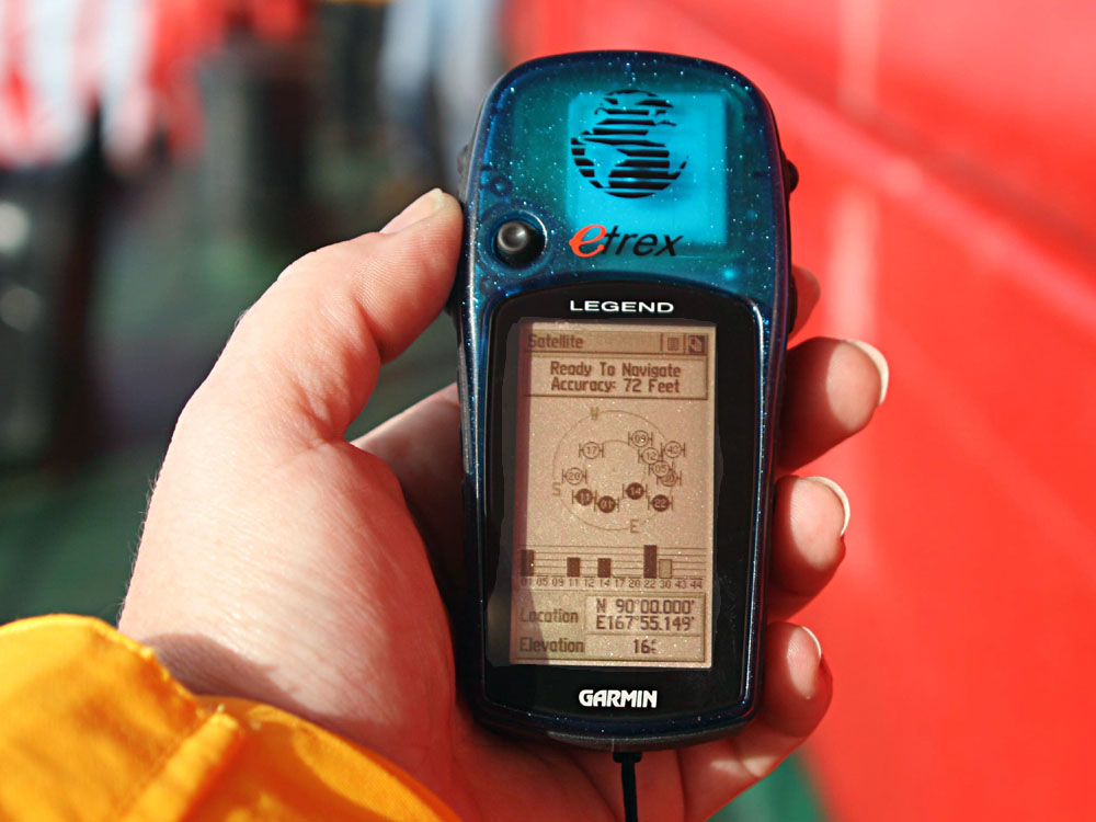
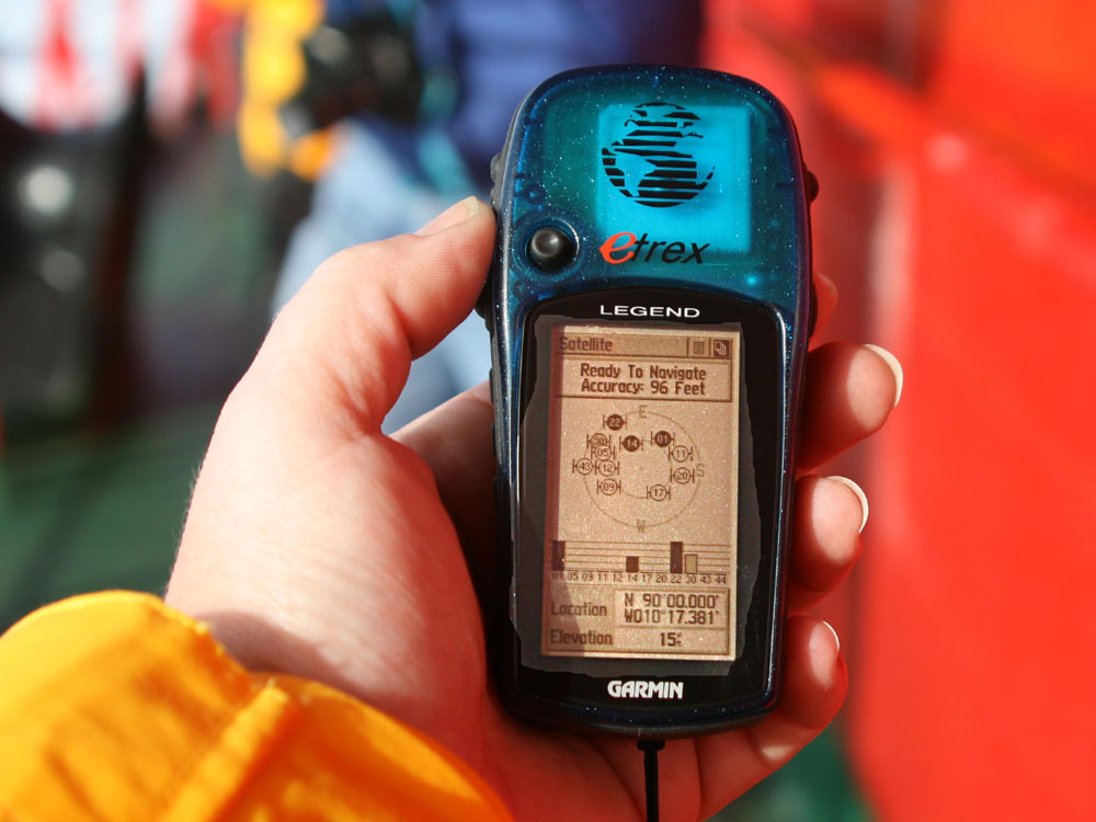
Here Sarah is standing over the North Pole where Longitude
has no meaning, but notice the GPS attempts to figure it out.
The elevation is about 15 feet, so if Sara is holding
the unit about 5 feet above the ice, then the ice is 10 feet thick.
Making a GPS Chart of
the North Pole
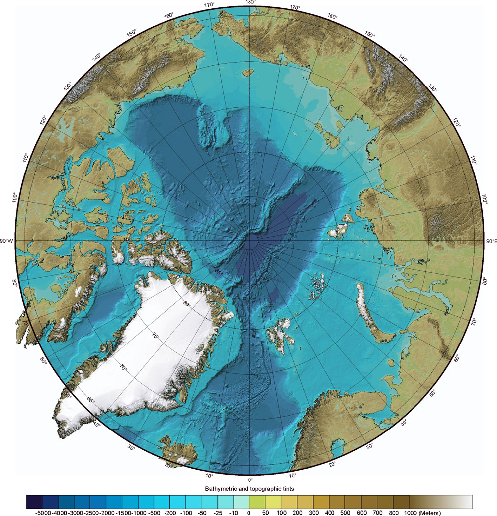
First, one must find a good chart of the North pole
This IBCAO.jpg chart comes from (HERE)
and (HERE)

Next we rotated the chart 30° clockwise, so that
the starting point (Murmansk) would be at the bottom.
The hardest part was registering
the chart with Ozi Explorer, since it didn't support Polar Coordinates.
After much experimenting, the Equidistant Conic (EQC)
projection and the WGS 84 Map Datum gave the best results.
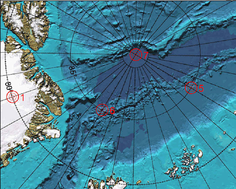
Here we have used seven known points
on the chart to "force feed" the registration with Ozi.
For a fully registered DRG chart compatible
with OziExplorer, get (THIS) file.
Now to place Sarah's waypoints and tracks on the map.
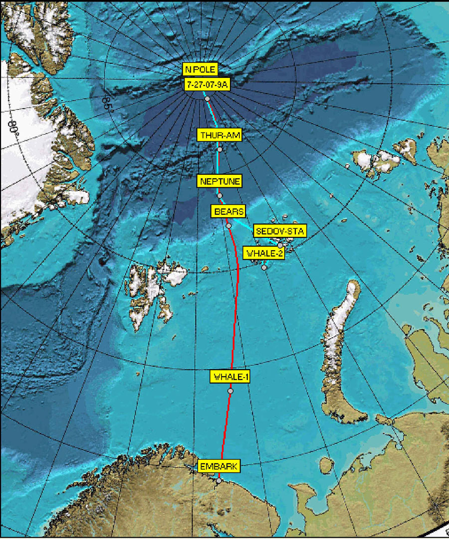
The trip starts at "EMBARK", (red),
and then back to the Franz Josef Archipelago (magenta).
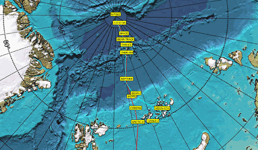
This is a more detailed view of the
northern tracks
(Click
on thumbnails below for larger sizes)
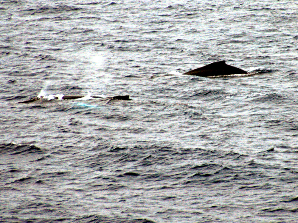
The first waypoint, WHALE-1
 .....
..... .....
.....
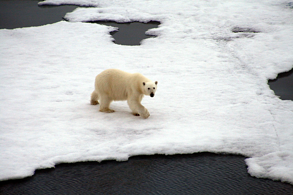
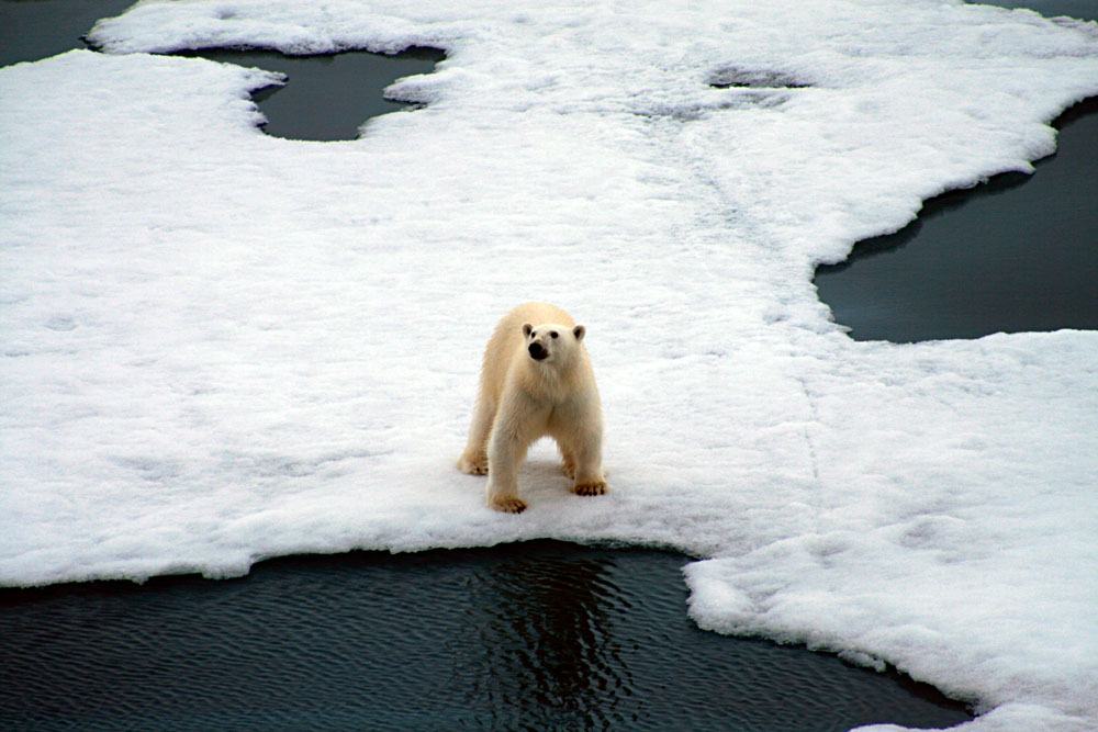
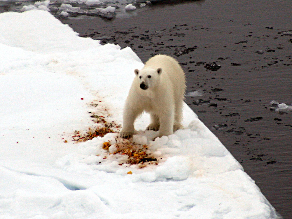
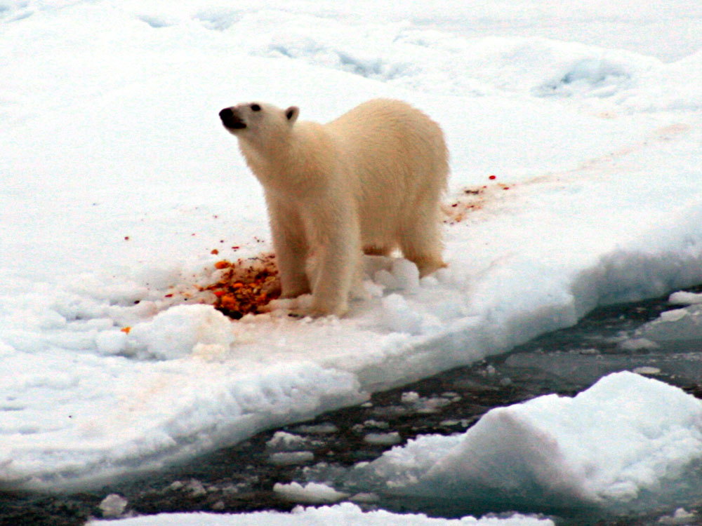
BEAR-1
 .....
..... .....
.....
 .....
..... .....
.....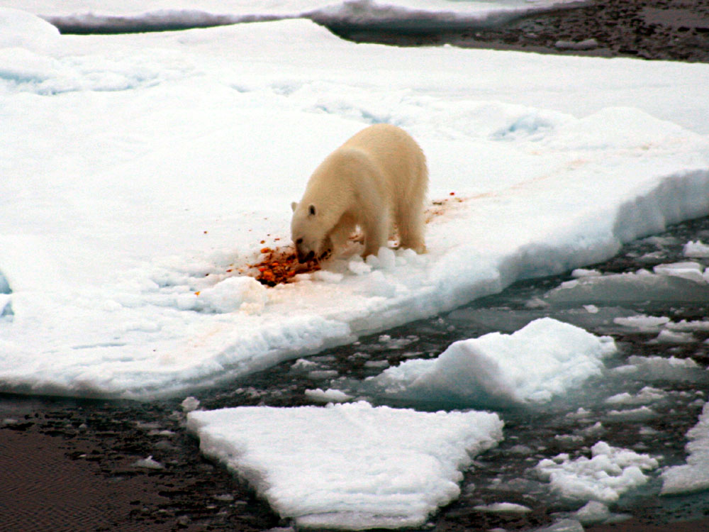
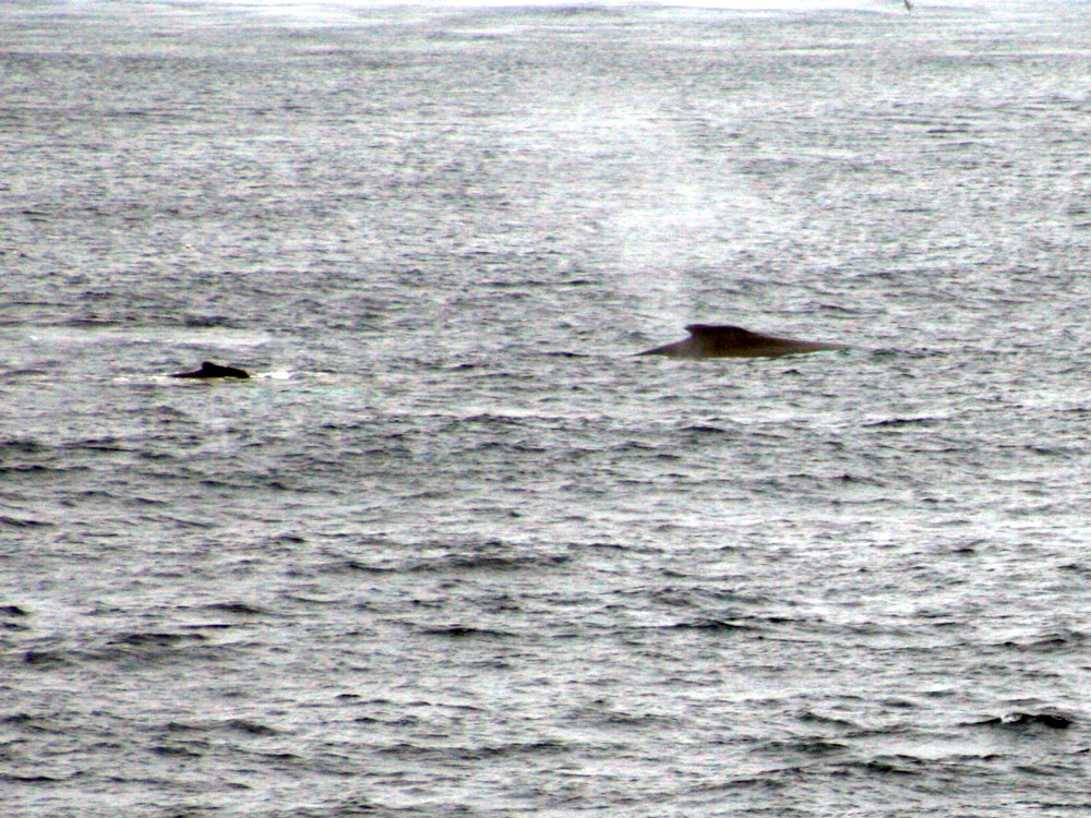
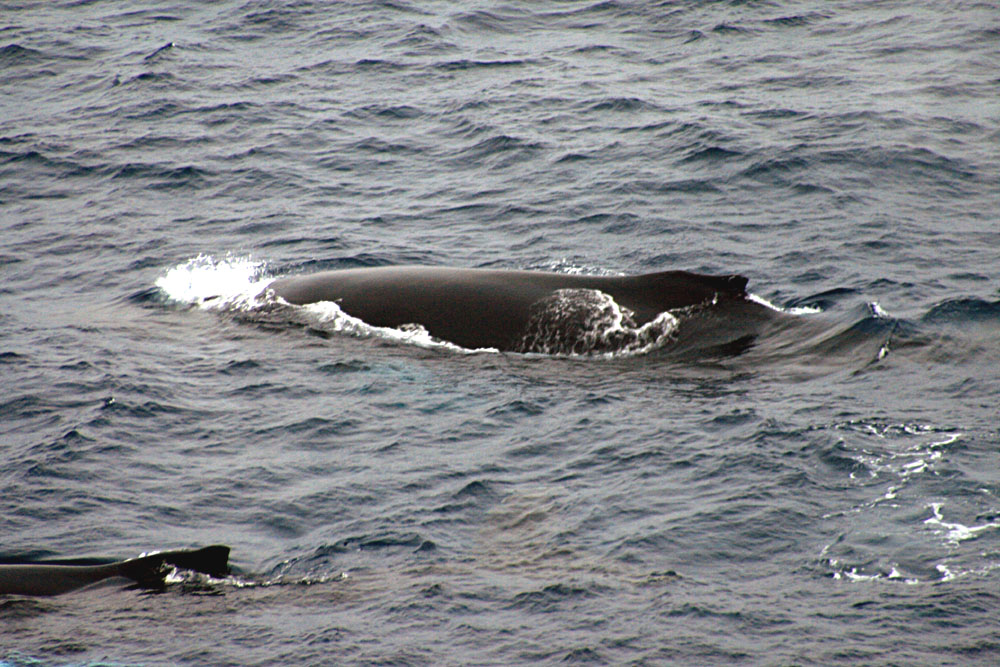
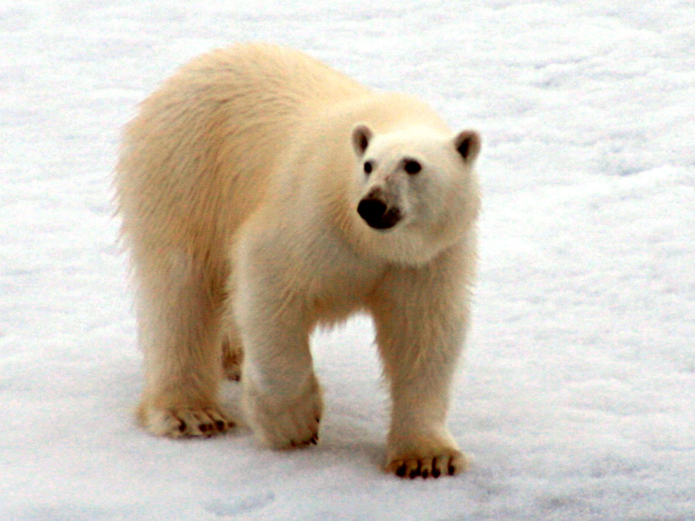
This fellow had a nice breakfast.