Origin of Garmin USA Topo and MetroGuide Data
If you ever wondered why the contour lines in the USA Topo CDs are strange number of feet not based on orders of 10, they appeaer to be derived from the USGS topo maps of 1:100,000 which use contour intervals of 10 meters or 20 meters.  This also appears to be the reason that these maps are more accurate than the Roads & Recreation maps, Lowrance IMS City Streets, and Street Atlas maps which are based on the Census Bureau's Tiger maps.  A comparison is shown below.


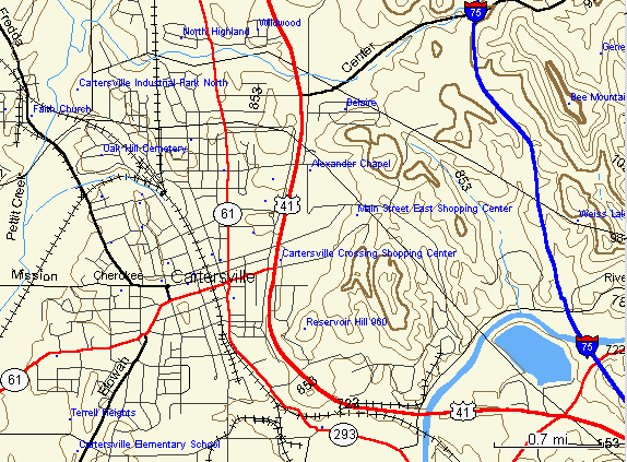
Garmin USA Topo Map of Cartersville , GA


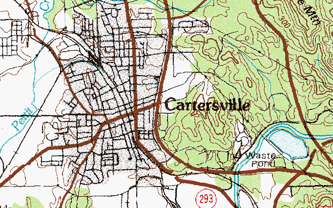
USGS 1:100,000 Cartersville DRG Topo


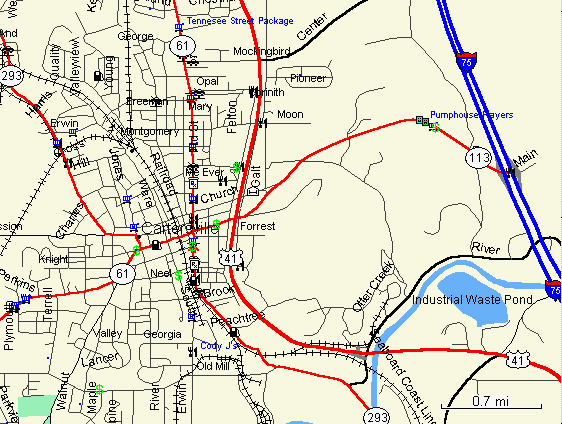
Garmin ETAK MetroGuide Map of Cartersville, GA


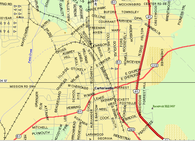
Delorme Street Atlas 8 Map of Cartersville, GA

Jack Yeazel