Note: The actual size of these screens is 3.8 x 1.8 inches.
Review by Joe Mehaffey
These images have been resized and are less sharp than the original images which are very clear.
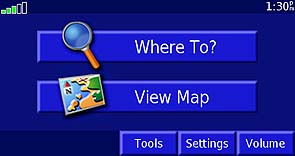
Your first screen. Does not go to map page automatically.
Your first screen. Does not go to map page automatically.
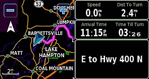
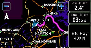
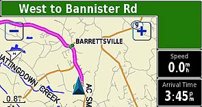
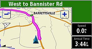
Route map with Wide Data Fields Route map with Narrow Data Fields
The map screens can be set to high detail or to less detail as you prefer.
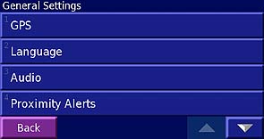
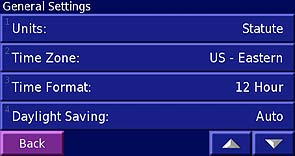
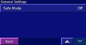
General Settings Option screens 1, 2, and 3 show the variety of user settable options.
Automatic Daylight Savings now works worldwide, but Time Zones are NOT automatically selected.
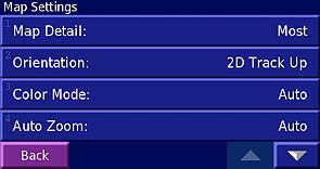
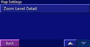
Page 3 of General Settings Page 1 of Map Settings option screen
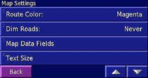
Pages 2 of map setting options Page 3 of map setting options.
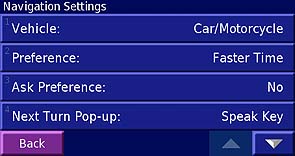
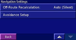
Navigation Setting Options Pages 1 and 2
SP-2720 has no "Quick, Better, Best" setting for route generation and so generated routes may
not always be as clever as with the SP-2610 series set to "Best".
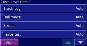
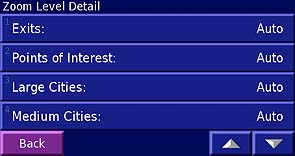
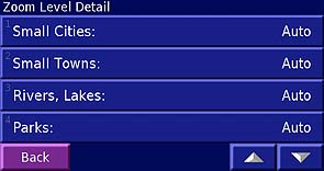
User Selections for Zoom Level Options allow customization of display operation. Pages 1, 2, of 3.
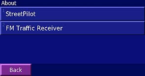
Page 3 About Page for reading firmware information
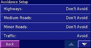
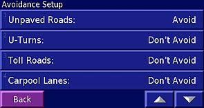
User Avoidance Setup allows settings for driver's favorite roads types.
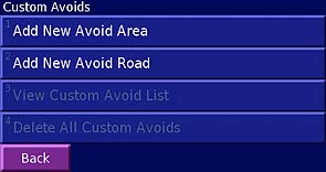
User can add custom areas and roads to avoid With Optional GTM-10 Radio, more options are available.
We will have more on this when a GTM-10 becomes available.
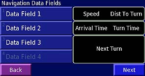
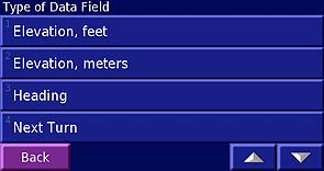
Change/select data field informatio to display Options that can be selected for data fields: 1 of 4
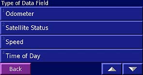
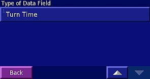
Options that can be selected for data fields: 2 of 4 Options that can be selected for data fields:3 of 4
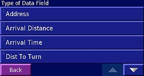
Options that can be selected for data fields: 4 of 4
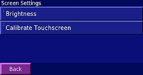
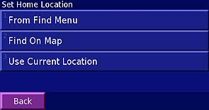
Setup screen brightness and touchscreen Set your home location.
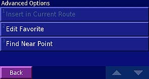
Here is where you can Insert VIAs into routes.
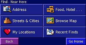
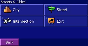
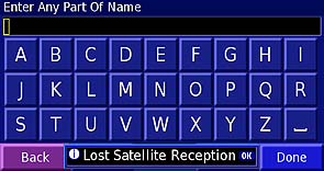
FIND OPTIONS allow you to locate addresses, cities, intersections, restaurants and a host of other Points of Interest
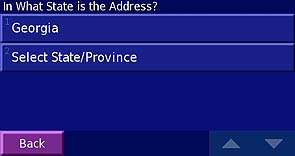
Press ADDRESS to input an address Pick the state your address is in.
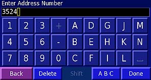
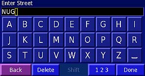
Key in the address number Now Key in the street Name
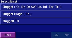
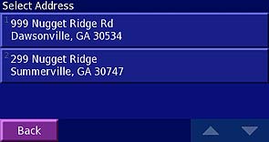
Then up will come a window of street options Pick the right one and then pick your final address.
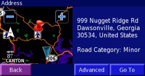
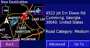
Up comes a map with your destination. GOTO and the SP2720 will take direct you to your destination.
OTHER FIND LOCATION DATA ENTRY PAGES
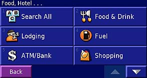
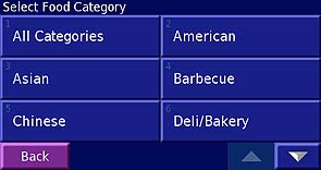
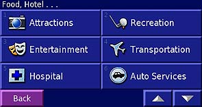
Finding Food, Lodging, Fuel and lots more For FOOD there are many options.
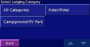
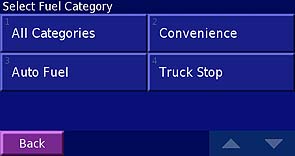
Lodging options include Hotels, Motels, and other Fuel options are available including by brand
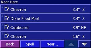
Pick your Fuel Stop Near Here Find Cities, and other landmarks.
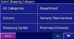
Find a City by inputing a name. Millions of shopping options are included.
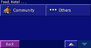
Hotel-Other includes Emergency Services, Community Centers and still ...Others..
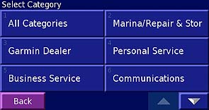
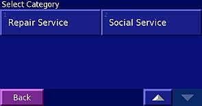
"Other" category includes these special services, pick one and SP2720 will guide you to the service location.
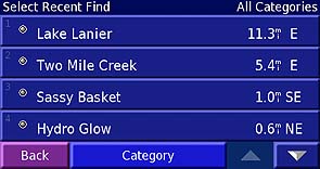
Recent Finds remembers your last destinations. Drag Pointer to a location, GOTO and off you go.
Point to a location, Review and store in your FAVORITES
EXAMPLES of Available Routing Displays
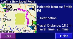
Set up your route, then SAVE by pushing FINISH Your route then shows this way in 2D mode
Or it shows this way in 3D mode
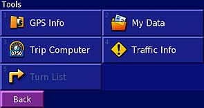
This TOOLS page is where you find the Turn Listing and other info
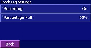
Track Log setup and information page Here you can clear the Tracklog.
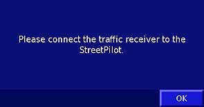
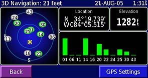
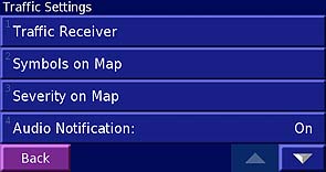
Optional GTM-10 traffic receiver's setup page GPS Satellite display page. lon/lat/altitude
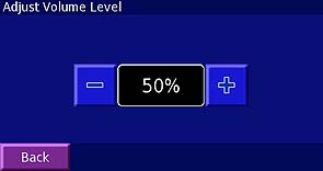
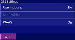
Adjust Audio Volume/No External Control. GPS and WAAS: Turn ON or OFF
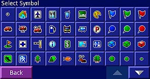
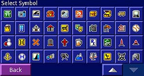
There are a myriad of map symbols for linking up with your FAVORITE waypoints.
(If only they had not left off the MARK KEY on the front panel!)
This screen allows you to edit your custom data files.
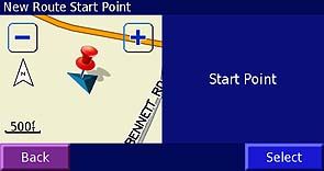
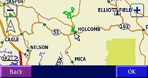
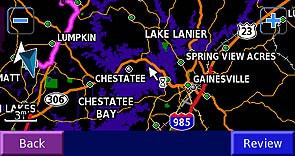
Map Route> Select Start Point on map with PAN, then select and pick FINISH point and press OK.
Another way to generate and store a route.
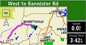
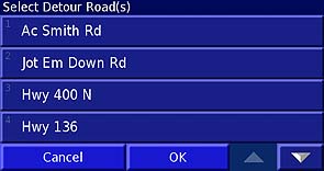
Display of above Map Generated Route Select detour roads here to guide detour route
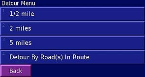
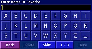
More Guidance for Automatic Detours Change name of favorite locations here.
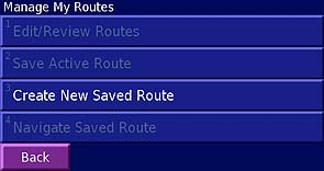
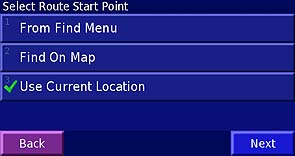
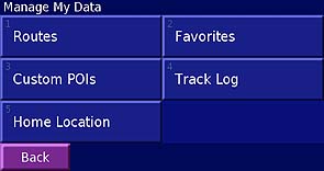
Managed Saved Routes Here Select the start of a new route here.
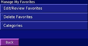
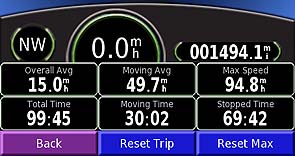
Manage your FAVORITE waypoints here Trip Computer, No User data field options
BACK TO MAIN REVIEW TEXT CLICK HERE
BACK TO GPS INFORMATION WEBSITE MAIN PAGE CLICK HERE